WISPR Inertial Labs RESEPI Ultra Lite-XT32 5MP Camera (FPV Gimbal)
RESEPI Ultra Lite XT-32 5MP Camera With FPV Gimbal: NDAA-Compliant Ultra-Lightweight LiDAR Payload With Real-Time Flight Visibility for Enterprise WISPR SkyScout Programs
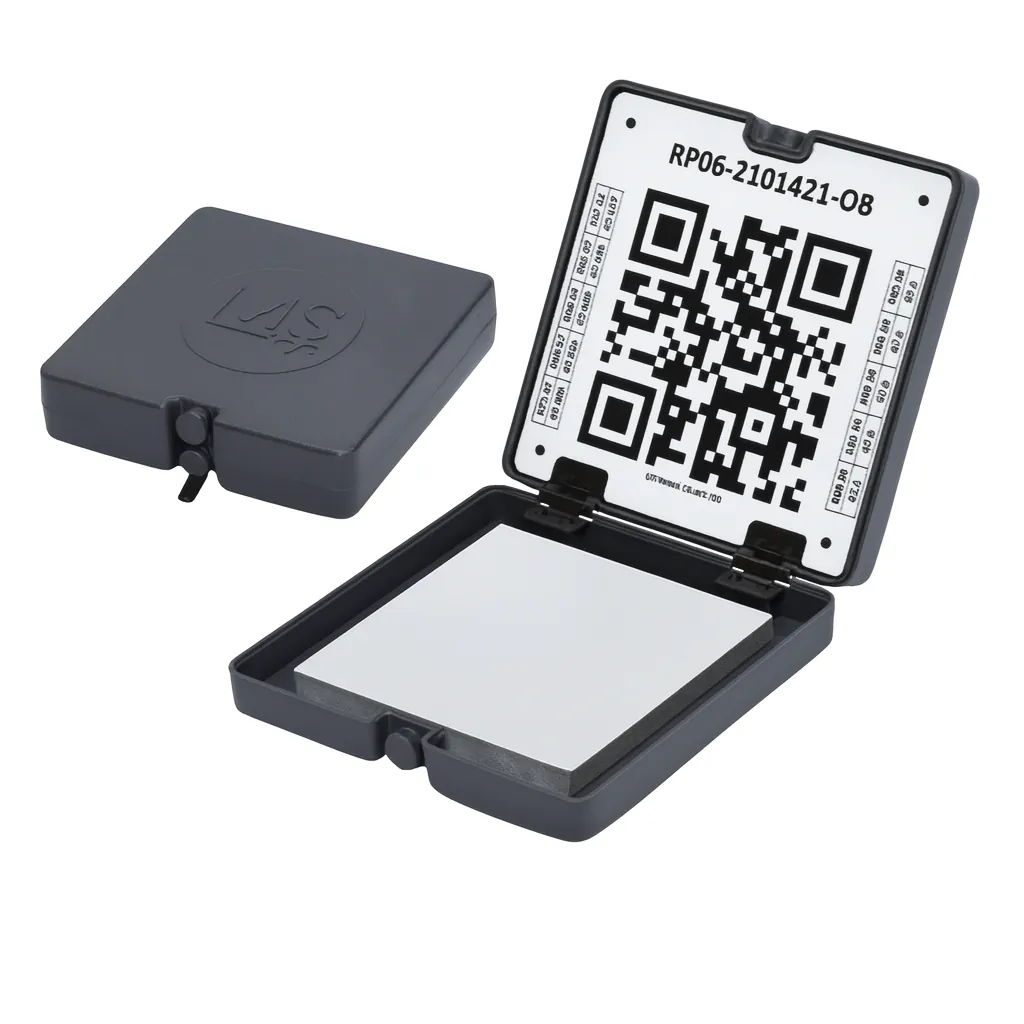
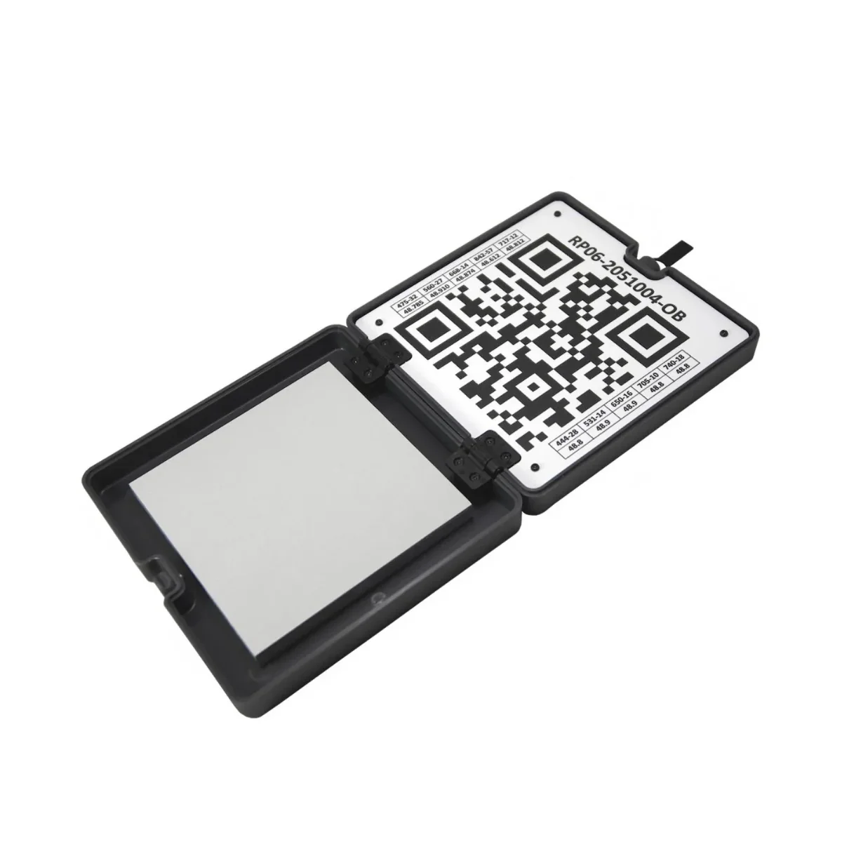
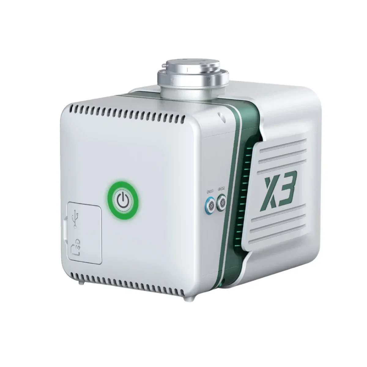
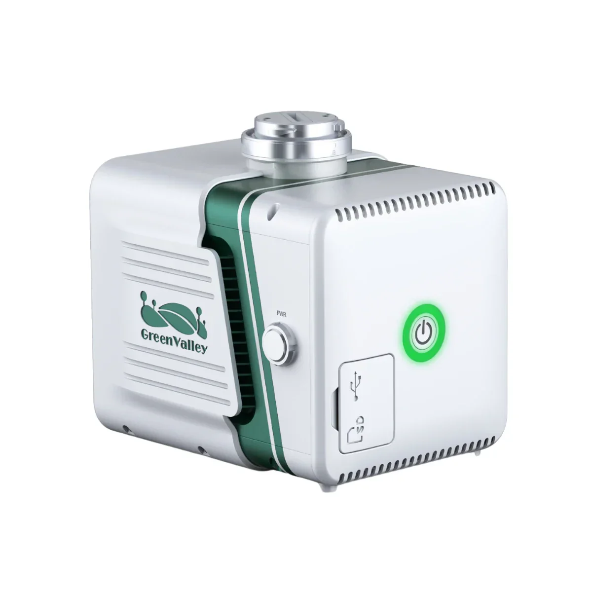
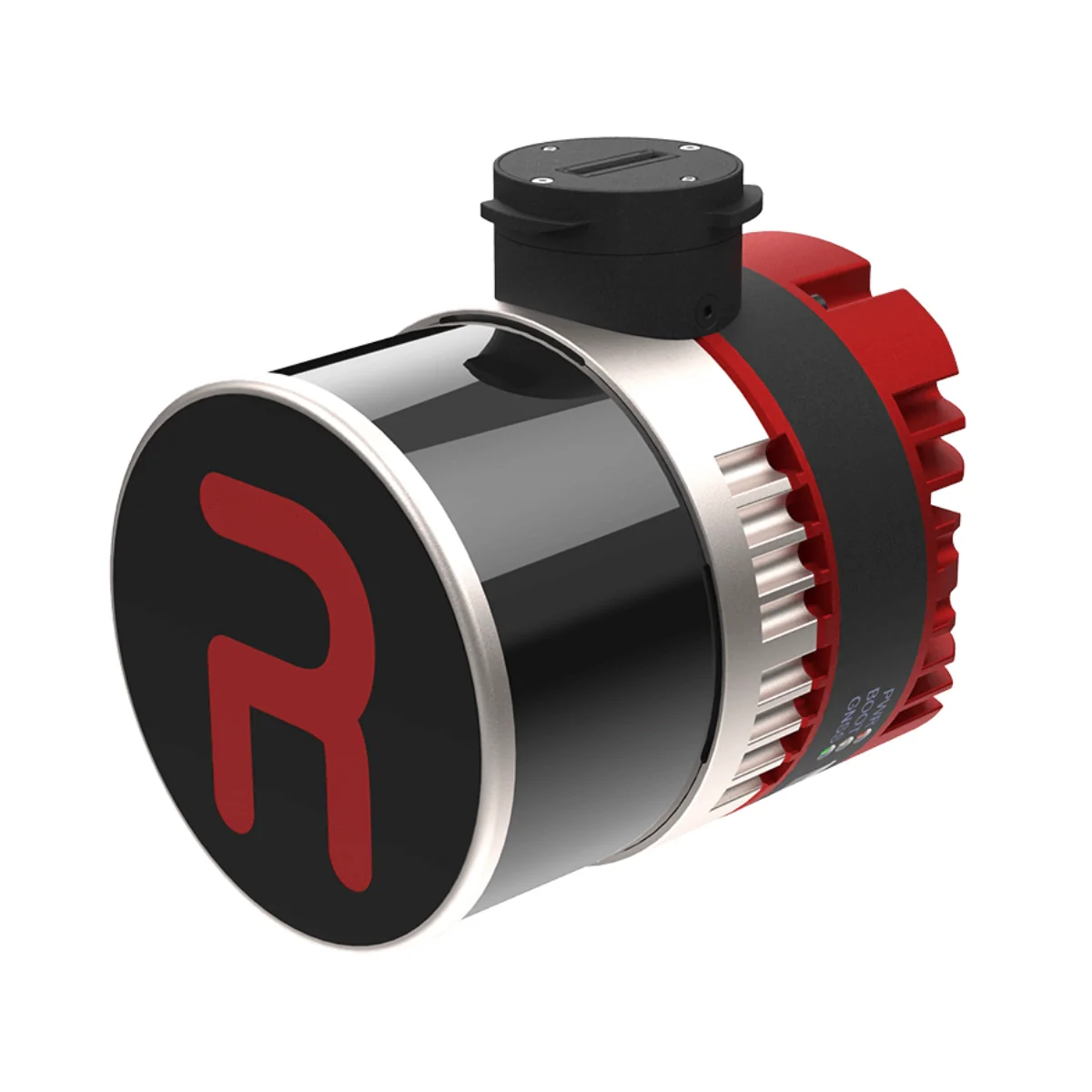
The RESEPI Ultra Lite XT-32 5MP Camera with FPV Gimbal is an NDAA-compliant, sensor-fused LiDAR scanning and mapping payload built by Inertial Labs in the USA for the WISPR SkyScout Series.
At 1.1 kg, it is the lightest and most compact complete LiDAR payload in the RESEPI lineup, integrating the Hesai XT-32 LiDAR with an Inertial Labs Kernel-210 IMU, NovAtel OEM7500 GNSS receiver, and an embedded 5MP colorization camera for simultaneous geotagged color capture alongside the point cloud pipeline.
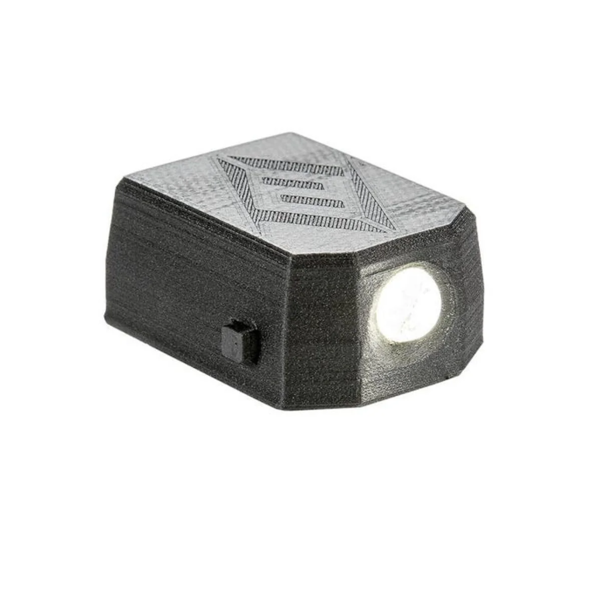
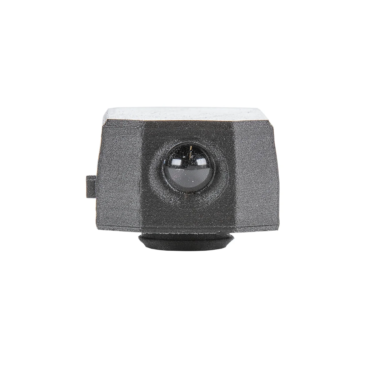
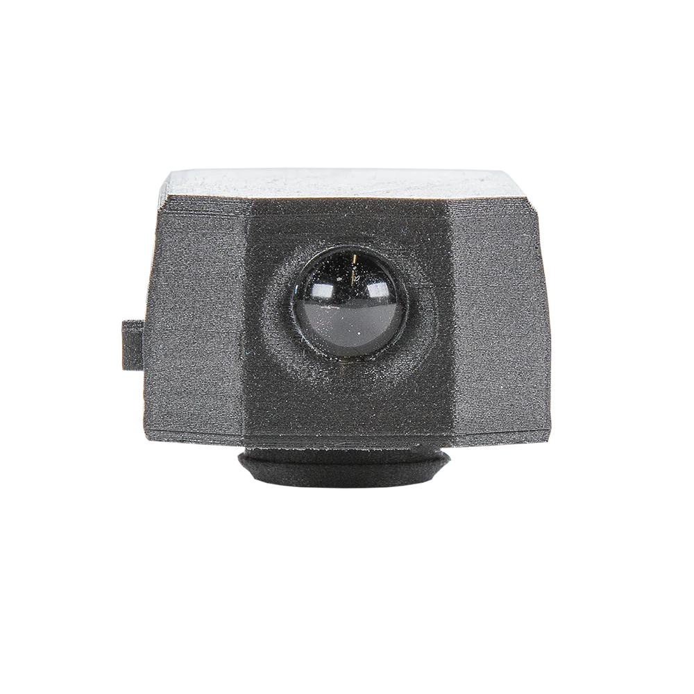
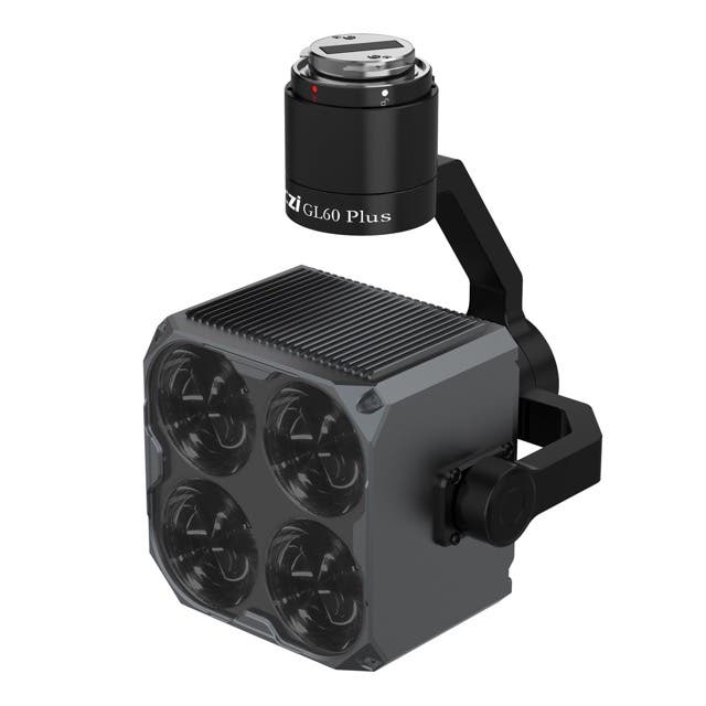
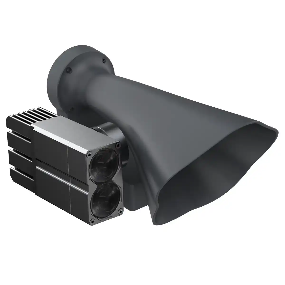
The SkyScout-specific SnapFit adapter includes an integrated FPV camera that connects directly to the SkyScout controller, giving fleet operators real-time downward visibility during scanning missions for improved situational awareness and in-flight quality control without adding airframe complexity.
For enterprise fleet programs where payload weight directly limits mission endurance and area coverage, the Ultra Lite XT-32 delivers meaningful operational efficiency without sacrificing the accuracy and software depth that production programs require.
The Hesai XT-32 captures up to 1,280,000 pulses per second in dual-return mode across 32 channels with a 360° horizontal and 31° vertical field of view, +/- 1 cm range accuracy, and detection range up to 120m. System accuracy is 2 to 3 cm tightening to 1.5 to 2.5 cm with 1-sigma noise removal.
PPK positioning delivers 0.5 cm position accuracy with pitch/roll accuracy of 0.006° and heading accuracy of 0.03°, backed by PCMasterPro with SLAM via Kudan and strip alignment via BayesMap.
RESEPI Ultra Lite XT-32 5MP With FPV Gimbal Mission-Ready Capabilities
- FPV camera integration: SkyScout SnapFit adapter delivers real-time controller visibility in flight.
- Ultra-lightweight build: 1.1 kg total weight maximizes mission endurance across fleet operations.
- NDAA-compliant: secure component sourcing supports government and regulated enterprise programs.
- Hesai XT-32 LiDAR: 32-channel system captures up to 1,280,000 pulses per second dual-return.
- Range accuracy: +/- 1 cm across all channels with detection range reaching up to 120m.
- System accuracy: 2 to 3 cm, tightening to 1.5 to 2.5 cm with 1-sigma noise removal applied.
- Kernel-210 IMU: PPK pitch/roll accuracy of 0.006° and heading accuracy of 0.03° supported.
- NovAtel OEM7500 GNSS: PPK position accuracy of 0.5 cm for program-grade fleet positioning.
- 5MP colorization camera: embedded CMOS sensor geotags color data for colorized point clouds.
- Advanced software pipeline: SLAM via Kudan and strip alignment via BayesMap included.
Scroll horizontally to compare all payloads →
| Specification | Inertial Labs RESEPI Lite M2X 24MP Camera (FPV Gimbal) | Inertial Labs RESEPI Livox AVIA 24MP Camera (FPV Gimbal) | Inertial Labs RESEPI Ultra Lite XT-32 5MP Camera (FPV Gimbal) | Inertial Labs RESEPI Ouster REV7 OS1-64 24MP Camera (FPV Gimbal) | Inertial Labs RESEPI Teledyne EchoONE 5MP Camera (No FPV Gimbal) | Inertial Labs RESEPI GEN-II Ouster OS1-64 61MP Camera (No FPV Gimbal) |
|---|---|---|---|---|---|---|
| LiDAR sensor | Hesai XT-32 M2X | Livox AVIA | Hesai XT-32 | Ouster OS1-64 REV7 | Teledyne proprietary (1535 nm) | Ouster OS1-64 REV7 |
| Laser channels | 32 | 6 | 32 | 64 | 4 vertical scan lines | 64 |
| Pulse rate | 1,920,000/s (triple return) | 720,000/s (triple return) | 1,280,000/s (dual return) | 2,621,000/s (dual return) | 400 kHz / 600 kHz (configurable) | 2,621,000/s (dual return) |
| Number of returns | 3 (triple) | 3 (triple) | 2 (dual) | 2 (dual) | Up to 8 per pulse | 2 (dual) |
| Laser range | 80m @ 10% / up to 300m | 190m @ 10% / 320m @ 80% reflectivity | 80m @ 10% (c9-24) / up to 120m | 90m @ 10% / up to 200m | 270m @ 20% (400 kHz) / 225m (600 kHz) | 90m @ 10% / up to 200m |
| Range accuracy | +/- 1 cm | +/- 2 cm | +/- 1 cm | +/- 2.5 cm | 10 mm accuracy / 5 mm precision | +/- 2.5 cm |
| Horizontal FOV | 360° | 70.4° | 360° | 360° | 90° | 360° |
| Vertical FOV | 40.3° | 4.5° / 77.2° (scan pattern dependent) | 31° | 45° | 4 lines: -10°, -4°, +4°, +10° | 45° |
| System accuracy | 2–3 cm (1.5–2.5 cm with noise removal) | 3–5 cm (2–3 cm with noise removal) | 2–3 cm (1.5–2.5 cm with noise removal) | 3–5 cm (2–4 cm with noise removal) | 1.5 cm RMSEz @ 120 m | 3–5 cm (2–4 cm with noise removal) |
| Recommended AGL | 50–100 m | Up to 85 m | Up to 100 m | Up to 100 m | Up to 205 m (400 kHz) | Up to 75 m |
| IMU | Inertial Labs Tactical Grade IMU-P | Inertial Labs Tactical Grade IMU-P | Inertial Labs Kernel-210 | Inertial Labs Tactical Grade IMU-P | Inertial Labs Kernel-210 | Inertial Labs Kernel-210 |
| GNSS receiver | Single or dual antenna | Single or dual antenna | NovAtel OEM7500 | NovAtel OEM7720 | GPS, GLONASS, Galileo, BeiDou, QZSS, NavIC | NovAtel OEM7720 |
| Position accuracy (PPK) | 0.5 cm | 0.5 cm | 0.5 cm | 0.5 cm | PPK supported | 0.5 cm |
| Pitch/roll accuracy | 0.03° RTK / 0.004° PPK | 0.03° RTK / 0.006° PPK | 0.03° RTK / 0.006° PPK | 0.03° RTK / 0.006° PPK | 0.03° RTK / 0.006° PPK | 0.03° RTK / 0.004° PPK |
| Heading accuracy | 0.1° RTK / 0.02° PPK | 0.15° RTK / 0.03° PPK | 0.1° RTK / 0.03° PPK | 0.15° RTK / 0.03° PPK | 0.08° RTK / 0.03° PPK | 0.08° RTK / 0.02° PPK |
| Camera | 24MP RGB, Sony E-Mount 16mm, 70° FOV | 24MP RGB, Sony E-Mount 16mm, 70° FOV | 5MP CMOS colorization, fixed manual focus, 70.8° HFOV | 24MP RGB, Sony E-Mount 16mm, 70° FOV | 5MP global shutter, 80° FOV (optional 61MP Sony ILX-LR1) | 61MP Sony ILX-LR1, 18mm fixed, 100° FOV |
| Weight | 1.0 kg (no cam) / 1.4 kg (with cam) | 0.9 kg (no cam) / 1.2 kg (with cam) | 1.1 kg | 1.0 kg (no cam) / 1.4 kg (with cam) | 1.65 kg | 1.7 kg |
| Storage | 256 GB USB | 256 GB USB | 256 GB USB | 256 GB USB | 512 GB onboard + USB removable | 512 GB internal SSD |
| Onboard computer | Quad Core, 1GB RAM, 8GB eMMC | Quad Core, 1GB RAM, 8GB eMMC | Quad Core, 1GB RAM, 8GB eMMC | Quad Core, 1GB RAM, 8GB eMMC | — | Hexacore, 8GB DDR4 RAM, 16GB eMMC |
| Real-time point cloud | No | No | No | No | Yes (on-sensor) | Yes (GEN-II) |
| SLAM | No | No | Yes (Kudan) | No | No | Yes (Kudan) |
| Strip alignment | No | No | Yes (BayesMap) | No | Optional (Teledyne LMS Pro) | Yes (BayesMap) |
| NDAA compliance | Yes | Yes | Yes | Yes | Yes (FY2020 Sec 848 + FY2023 Sec 817) | Yes |
| IP rating | — | — | — | — | IP54 | — |
| FPV Gimbal | Yes (SkyScout SnapFit) | Yes (SkyScout SnapFit) | Yes (SkyScout SnapFit) | Yes (SkyScout SnapFit) | No | No (standard SnapFit) |
| Best for | Vegetation analysis, dense canopy, highest range accuracy | Powerline surveys, corridor mapping, high-speed large-area passes | Endurance missions, weight-sensitive fleet deployments | Wide-area terrain mapping, site surveys, construction volumetrics | Utility corridor mapping, government programs, real-time QC | High-res imaging + LiDAR fusion, advanced survey programs |
The RESEPI Ultra Lite XT-32 5MP Camera with FPV Gimbal fills a specific role in enterprise SkyScout Series fleet programs: a complete, NDAA-compliant LiDAR payload that delivers production-grade accuracy, colorized point cloud output, real-time FPV visibility, and the full PCMasterPro software pipeline in the smallest and lightest form factor available.
For fleet operators running utilities mapping, site surveying, construction volumetrics, precision agriculture, or forestry programs where payload weight and flight endurance are primary operational constraints, this configuration delivers consistent survey-grade results without the weight penalty of larger RESEPI systems.
Dronefly carries the RESEPI Ultra Lite XT-32 5MP Camera with FPV Gimbal for the WISPR SkyScout Series, including the complete system with SkyScout SnapFit adapter, 256 GB USB storage, and full PCMasterPro software pipeline.
Order the RESEPI Ultra Lite XT-32 5MP Camera with FPV Gimbal at Dronefly today.
Product Information
Product Information
Shipping & Returns
Shipping & Returns
WISPR Inertial Labs RESEPI Ultra Lite-XT32 5MP Camera (FPV Gimbal)
WISPR Inertial Labs RESEPI Ultra Lite-XT32 5MP Camera (FPV Gimbal)
RESEPI Ultra Lite XT-32 5MP Camera With FPV Gimbal: NDAA-Compliant Ultra-Lightweight LiDAR Payload With Real-Time Flight Visibility for Enterprise WISPR SkyScout Programs
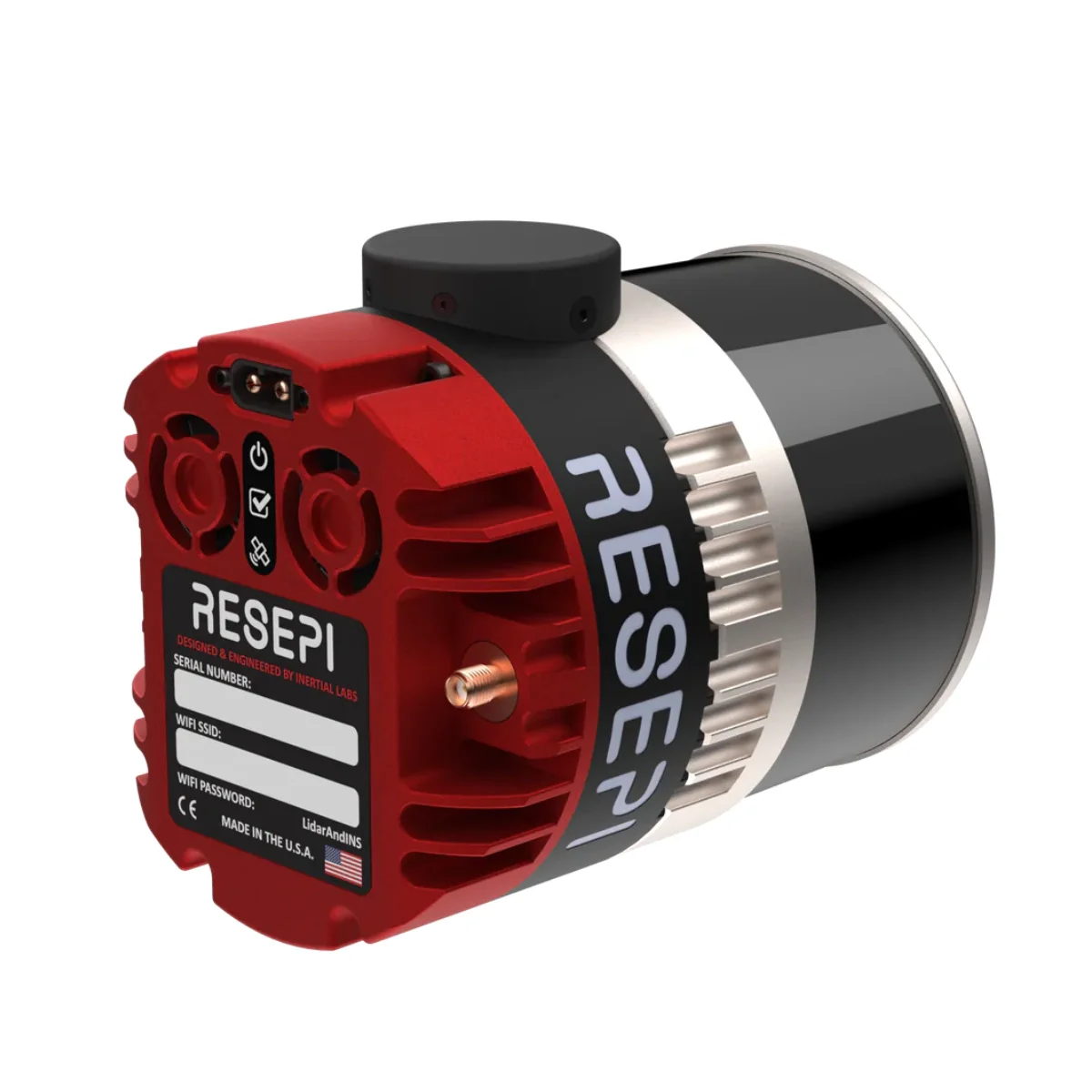
The RESEPI Ultra Lite XT-32 5MP Camera with FPV Gimbal is an NDAA-compliant, sensor-fused LiDAR scanning and mapping payload built by Inertial Labs in the USA for the WISPR SkyScout Series.
At 1.1 kg, it is the lightest and most compact complete LiDAR payload in the RESEPI lineup, integrating the Hesai XT-32 LiDAR with an Inertial Labs Kernel-210 IMU, NovAtel OEM7500 GNSS receiver, and an embedded 5MP colorization camera for simultaneous geotagged color capture alongside the point cloud pipeline.
The SkyScout-specific SnapFit adapter includes an integrated FPV camera that connects directly to the SkyScout controller, giving fleet operators real-time downward visibility during scanning missions for improved situational awareness and in-flight quality control without adding airframe complexity.
For enterprise fleet programs where payload weight directly limits mission endurance and area coverage, the Ultra Lite XT-32 delivers meaningful operational efficiency without sacrificing the accuracy and software depth that production programs require.
The Hesai XT-32 captures up to 1,280,000 pulses per second in dual-return mode across 32 channels with a 360° horizontal and 31° vertical field of view, +/- 1 cm range accuracy, and detection range up to 120m. System accuracy is 2 to 3 cm tightening to 1.5 to 2.5 cm with 1-sigma noise removal.
PPK positioning delivers 0.5 cm position accuracy with pitch/roll accuracy of 0.006° and heading accuracy of 0.03°, backed by PCMasterPro with SLAM via Kudan and strip alignment via BayesMap.
RESEPI Ultra Lite XT-32 5MP With FPV Gimbal Mission-Ready Capabilities
- FPV camera integration: SkyScout SnapFit adapter delivers real-time controller visibility in flight.
- Ultra-lightweight build: 1.1 kg total weight maximizes mission endurance across fleet operations.
- NDAA-compliant: secure component sourcing supports government and regulated enterprise programs.
- Hesai XT-32 LiDAR: 32-channel system captures up to 1,280,000 pulses per second dual-return.
- Range accuracy: +/- 1 cm across all channels with detection range reaching up to 120m.
- System accuracy: 2 to 3 cm, tightening to 1.5 to 2.5 cm with 1-sigma noise removal applied.
- Kernel-210 IMU: PPK pitch/roll accuracy of 0.006° and heading accuracy of 0.03° supported.
- NovAtel OEM7500 GNSS: PPK position accuracy of 0.5 cm for program-grade fleet positioning.
- 5MP colorization camera: embedded CMOS sensor geotags color data for colorized point clouds.
- Advanced software pipeline: SLAM via Kudan and strip alignment via BayesMap included.
Scroll horizontally to compare all payloads →
| Specification | Inertial Labs RESEPI Lite M2X 24MP Camera (FPV Gimbal) | Inertial Labs RESEPI Livox AVIA 24MP Camera (FPV Gimbal) | Inertial Labs RESEPI Ultra Lite XT-32 5MP Camera (FPV Gimbal) | Inertial Labs RESEPI Ouster REV7 OS1-64 24MP Camera (FPV Gimbal) | Inertial Labs RESEPI Teledyne EchoONE 5MP Camera (No FPV Gimbal) | Inertial Labs RESEPI GEN-II Ouster OS1-64 61MP Camera (No FPV Gimbal) |
|---|---|---|---|---|---|---|
| LiDAR sensor | Hesai XT-32 M2X | Livox AVIA | Hesai XT-32 | Ouster OS1-64 REV7 | Teledyne proprietary (1535 nm) | Ouster OS1-64 REV7 |
| Laser channels | 32 | 6 | 32 | 64 | 4 vertical scan lines | 64 |
| Pulse rate | 1,920,000/s (triple return) | 720,000/s (triple return) | 1,280,000/s (dual return) | 2,621,000/s (dual return) | 400 kHz / 600 kHz (configurable) | 2,621,000/s (dual return) |
| Number of returns | 3 (triple) | 3 (triple) | 2 (dual) | 2 (dual) | Up to 8 per pulse | 2 (dual) |
| Laser range | 80m @ 10% / up to 300m | 190m @ 10% / 320m @ 80% reflectivity | 80m @ 10% (c9-24) / up to 120m | 90m @ 10% / up to 200m | 270m @ 20% (400 kHz) / 225m (600 kHz) | 90m @ 10% / up to 200m |
| Range accuracy | +/- 1 cm | +/- 2 cm | +/- 1 cm | +/- 2.5 cm | 10 mm accuracy / 5 mm precision | +/- 2.5 cm |
| Horizontal FOV | 360° | 70.4° | 360° | 360° | 90° | 360° |
| Vertical FOV | 40.3° | 4.5° / 77.2° (scan pattern dependent) | 31° | 45° | 4 lines: -10°, -4°, +4°, +10° | 45° |
| System accuracy | 2–3 cm (1.5–2.5 cm with noise removal) | 3–5 cm (2–3 cm with noise removal) | 2–3 cm (1.5–2.5 cm with noise removal) | 3–5 cm (2–4 cm with noise removal) | 1.5 cm RMSEz @ 120 m | 3–5 cm (2–4 cm with noise removal) |
| Recommended AGL | 50–100 m | Up to 85 m | Up to 100 m | Up to 100 m | Up to 205 m (400 kHz) | Up to 75 m |
| IMU | Inertial Labs Tactical Grade IMU-P | Inertial Labs Tactical Grade IMU-P | Inertial Labs Kernel-210 | Inertial Labs Tactical Grade IMU-P | Inertial Labs Kernel-210 | Inertial Labs Kernel-210 |
| GNSS receiver | Single or dual antenna | Single or dual antenna | NovAtel OEM7500 | NovAtel OEM7720 | GPS, GLONASS, Galileo, BeiDou, QZSS, NavIC | NovAtel OEM7720 |
| Position accuracy (PPK) | 0.5 cm | 0.5 cm | 0.5 cm | 0.5 cm | PPK supported | 0.5 cm |
| Pitch/roll accuracy | 0.03° RTK / 0.004° PPK | 0.03° RTK / 0.006° PPK | 0.03° RTK / 0.006° PPK | 0.03° RTK / 0.006° PPK | 0.03° RTK / 0.006° PPK | 0.03° RTK / 0.004° PPK |
| Heading accuracy | 0.1° RTK / 0.02° PPK | 0.15° RTK / 0.03° PPK | 0.1° RTK / 0.03° PPK | 0.15° RTK / 0.03° PPK | 0.08° RTK / 0.03° PPK | 0.08° RTK / 0.02° PPK |
| Camera | 24MP RGB, Sony E-Mount 16mm, 70° FOV | 24MP RGB, Sony E-Mount 16mm, 70° FOV | 5MP CMOS colorization, fixed manual focus, 70.8° HFOV | 24MP RGB, Sony E-Mount 16mm, 70° FOV | 5MP global shutter, 80° FOV (optional 61MP Sony ILX-LR1) | 61MP Sony ILX-LR1, 18mm fixed, 100° FOV |
| Weight | 1.0 kg (no cam) / 1.4 kg (with cam) | 0.9 kg (no cam) / 1.2 kg (with cam) | 1.1 kg | 1.0 kg (no cam) / 1.4 kg (with cam) | 1.65 kg | 1.7 kg |
| Storage | 256 GB USB | 256 GB USB | 256 GB USB | 256 GB USB | 512 GB onboard + USB removable | 512 GB internal SSD |
| Onboard computer | Quad Core, 1GB RAM, 8GB eMMC | Quad Core, 1GB RAM, 8GB eMMC | Quad Core, 1GB RAM, 8GB eMMC | Quad Core, 1GB RAM, 8GB eMMC | — | Hexacore, 8GB DDR4 RAM, 16GB eMMC |
| Real-time point cloud | No | No | No | No | Yes (on-sensor) | Yes (GEN-II) |
| SLAM | No | No | Yes (Kudan) | No | No | Yes (Kudan) |
| Strip alignment | No | No | Yes (BayesMap) | No | Optional (Teledyne LMS Pro) | Yes (BayesMap) |
| NDAA compliance | Yes | Yes | Yes | Yes | Yes (FY2020 Sec 848 + FY2023 Sec 817) | Yes |
| IP rating | — | — | — | — | IP54 | — |
| FPV Gimbal | Yes (SkyScout SnapFit) | Yes (SkyScout SnapFit) | Yes (SkyScout SnapFit) | Yes (SkyScout SnapFit) | No | No (standard SnapFit) |
| Best for | Vegetation analysis, dense canopy, highest range accuracy | Powerline surveys, corridor mapping, high-speed large-area passes | Endurance missions, weight-sensitive fleet deployments | Wide-area terrain mapping, site surveys, construction volumetrics | Utility corridor mapping, government programs, real-time QC | High-res imaging + LiDAR fusion, advanced survey programs |
The RESEPI Ultra Lite XT-32 5MP Camera with FPV Gimbal fills a specific role in enterprise SkyScout Series fleet programs: a complete, NDAA-compliant LiDAR payload that delivers production-grade accuracy, colorized point cloud output, real-time FPV visibility, and the full PCMasterPro software pipeline in the smallest and lightest form factor available.
For fleet operators running utilities mapping, site surveying, construction volumetrics, precision agriculture, or forestry programs where payload weight and flight endurance are primary operational constraints, this configuration delivers consistent survey-grade results without the weight penalty of larger RESEPI systems.
Dronefly carries the RESEPI Ultra Lite XT-32 5MP Camera with FPV Gimbal for the WISPR SkyScout Series, including the complete system with SkyScout SnapFit adapter, 256 GB USB storage, and full PCMasterPro software pipeline.
Order the RESEPI Ultra Lite XT-32 5MP Camera with FPV Gimbal at Dronefly today.
Original: $22,425.00
-65%$22,425.00
$7,848.75Product Information
Product Information
Shipping & Returns
Shipping & Returns
Description
RESEPI Ultra Lite XT-32 5MP Camera With FPV Gimbal: NDAA-Compliant Ultra-Lightweight LiDAR Payload With Real-Time Flight Visibility for Enterprise WISPR SkyScout Programs
The RESEPI Ultra Lite XT-32 5MP Camera with FPV Gimbal is an NDAA-compliant, sensor-fused LiDAR scanning and mapping payload built by Inertial Labs in the USA for the WISPR SkyScout Series.
At 1.1 kg, it is the lightest and most compact complete LiDAR payload in the RESEPI lineup, integrating the Hesai XT-32 LiDAR with an Inertial Labs Kernel-210 IMU, NovAtel OEM7500 GNSS receiver, and an embedded 5MP colorization camera for simultaneous geotagged color capture alongside the point cloud pipeline.
The SkyScout-specific SnapFit adapter includes an integrated FPV camera that connects directly to the SkyScout controller, giving fleet operators real-time downward visibility during scanning missions for improved situational awareness and in-flight quality control without adding airframe complexity.
For enterprise fleet programs where payload weight directly limits mission endurance and area coverage, the Ultra Lite XT-32 delivers meaningful operational efficiency without sacrificing the accuracy and software depth that production programs require.
The Hesai XT-32 captures up to 1,280,000 pulses per second in dual-return mode across 32 channels with a 360° horizontal and 31° vertical field of view, +/- 1 cm range accuracy, and detection range up to 120m. System accuracy is 2 to 3 cm tightening to 1.5 to 2.5 cm with 1-sigma noise removal.
PPK positioning delivers 0.5 cm position accuracy with pitch/roll accuracy of 0.006° and heading accuracy of 0.03°, backed by PCMasterPro with SLAM via Kudan and strip alignment via BayesMap.
RESEPI Ultra Lite XT-32 5MP With FPV Gimbal Mission-Ready Capabilities
- FPV camera integration: SkyScout SnapFit adapter delivers real-time controller visibility in flight.
- Ultra-lightweight build: 1.1 kg total weight maximizes mission endurance across fleet operations.
- NDAA-compliant: secure component sourcing supports government and regulated enterprise programs.
- Hesai XT-32 LiDAR: 32-channel system captures up to 1,280,000 pulses per second dual-return.
- Range accuracy: +/- 1 cm across all channels with detection range reaching up to 120m.
- System accuracy: 2 to 3 cm, tightening to 1.5 to 2.5 cm with 1-sigma noise removal applied.
- Kernel-210 IMU: PPK pitch/roll accuracy of 0.006° and heading accuracy of 0.03° supported.
- NovAtel OEM7500 GNSS: PPK position accuracy of 0.5 cm for program-grade fleet positioning.
- 5MP colorization camera: embedded CMOS sensor geotags color data for colorized point clouds.
- Advanced software pipeline: SLAM via Kudan and strip alignment via BayesMap included.
Scroll horizontally to compare all payloads →
| Specification | Inertial Labs RESEPI Lite M2X 24MP Camera (FPV Gimbal) | Inertial Labs RESEPI Livox AVIA 24MP Camera (FPV Gimbal) | Inertial Labs RESEPI Ultra Lite XT-32 5MP Camera (FPV Gimbal) | Inertial Labs RESEPI Ouster REV7 OS1-64 24MP Camera (FPV Gimbal) | Inertial Labs RESEPI Teledyne EchoONE 5MP Camera (No FPV Gimbal) | Inertial Labs RESEPI GEN-II Ouster OS1-64 61MP Camera (No FPV Gimbal) |
|---|---|---|---|---|---|---|
| LiDAR sensor | Hesai XT-32 M2X | Livox AVIA | Hesai XT-32 | Ouster OS1-64 REV7 | Teledyne proprietary (1535 nm) | Ouster OS1-64 REV7 |
| Laser channels | 32 | 6 | 32 | 64 | 4 vertical scan lines | 64 |
| Pulse rate | 1,920,000/s (triple return) | 720,000/s (triple return) | 1,280,000/s (dual return) | 2,621,000/s (dual return) | 400 kHz / 600 kHz (configurable) | 2,621,000/s (dual return) |
| Number of returns | 3 (triple) | 3 (triple) | 2 (dual) | 2 (dual) | Up to 8 per pulse | 2 (dual) |
| Laser range | 80m @ 10% / up to 300m | 190m @ 10% / 320m @ 80% reflectivity | 80m @ 10% (c9-24) / up to 120m | 90m @ 10% / up to 200m | 270m @ 20% (400 kHz) / 225m (600 kHz) | 90m @ 10% / up to 200m |
| Range accuracy | +/- 1 cm | +/- 2 cm | +/- 1 cm | +/- 2.5 cm | 10 mm accuracy / 5 mm precision | +/- 2.5 cm |
| Horizontal FOV | 360° | 70.4° | 360° | 360° | 90° | 360° |
| Vertical FOV | 40.3° | 4.5° / 77.2° (scan pattern dependent) | 31° | 45° | 4 lines: -10°, -4°, +4°, +10° | 45° |
| System accuracy | 2–3 cm (1.5–2.5 cm with noise removal) | 3–5 cm (2–3 cm with noise removal) | 2–3 cm (1.5–2.5 cm with noise removal) | 3–5 cm (2–4 cm with noise removal) | 1.5 cm RMSEz @ 120 m | 3–5 cm (2–4 cm with noise removal) |
| Recommended AGL | 50–100 m | Up to 85 m | Up to 100 m | Up to 100 m | Up to 205 m (400 kHz) | Up to 75 m |
| IMU | Inertial Labs Tactical Grade IMU-P | Inertial Labs Tactical Grade IMU-P | Inertial Labs Kernel-210 | Inertial Labs Tactical Grade IMU-P | Inertial Labs Kernel-210 | Inertial Labs Kernel-210 |
| GNSS receiver | Single or dual antenna | Single or dual antenna | NovAtel OEM7500 | NovAtel OEM7720 | GPS, GLONASS, Galileo, BeiDou, QZSS, NavIC | NovAtel OEM7720 |
| Position accuracy (PPK) | 0.5 cm | 0.5 cm | 0.5 cm | 0.5 cm | PPK supported | 0.5 cm |
| Pitch/roll accuracy | 0.03° RTK / 0.004° PPK | 0.03° RTK / 0.006° PPK | 0.03° RTK / 0.006° PPK | 0.03° RTK / 0.006° PPK | 0.03° RTK / 0.006° PPK | 0.03° RTK / 0.004° PPK |
| Heading accuracy | 0.1° RTK / 0.02° PPK | 0.15° RTK / 0.03° PPK | 0.1° RTK / 0.03° PPK | 0.15° RTK / 0.03° PPK | 0.08° RTK / 0.03° PPK | 0.08° RTK / 0.02° PPK |
| Camera | 24MP RGB, Sony E-Mount 16mm, 70° FOV | 24MP RGB, Sony E-Mount 16mm, 70° FOV | 5MP CMOS colorization, fixed manual focus, 70.8° HFOV | 24MP RGB, Sony E-Mount 16mm, 70° FOV | 5MP global shutter, 80° FOV (optional 61MP Sony ILX-LR1) | 61MP Sony ILX-LR1, 18mm fixed, 100° FOV |
| Weight | 1.0 kg (no cam) / 1.4 kg (with cam) | 0.9 kg (no cam) / 1.2 kg (with cam) | 1.1 kg | 1.0 kg (no cam) / 1.4 kg (with cam) | 1.65 kg | 1.7 kg |
| Storage | 256 GB USB | 256 GB USB | 256 GB USB | 256 GB USB | 512 GB onboard + USB removable | 512 GB internal SSD |
| Onboard computer | Quad Core, 1GB RAM, 8GB eMMC | Quad Core, 1GB RAM, 8GB eMMC | Quad Core, 1GB RAM, 8GB eMMC | Quad Core, 1GB RAM, 8GB eMMC | — | Hexacore, 8GB DDR4 RAM, 16GB eMMC |
| Real-time point cloud | No | No | No | No | Yes (on-sensor) | Yes (GEN-II) |
| SLAM | No | No | Yes (Kudan) | No | No | Yes (Kudan) |
| Strip alignment | No | No | Yes (BayesMap) | No | Optional (Teledyne LMS Pro) | Yes (BayesMap) |
| NDAA compliance | Yes | Yes | Yes | Yes | Yes (FY2020 Sec 848 + FY2023 Sec 817) | Yes |
| IP rating | — | — | — | — | IP54 | — |
| FPV Gimbal | Yes (SkyScout SnapFit) | Yes (SkyScout SnapFit) | Yes (SkyScout SnapFit) | Yes (SkyScout SnapFit) | No | No (standard SnapFit) |
| Best for | Vegetation analysis, dense canopy, highest range accuracy | Powerline surveys, corridor mapping, high-speed large-area passes | Endurance missions, weight-sensitive fleet deployments | Wide-area terrain mapping, site surveys, construction volumetrics | Utility corridor mapping, government programs, real-time QC | High-res imaging + LiDAR fusion, advanced survey programs |
The RESEPI Ultra Lite XT-32 5MP Camera with FPV Gimbal fills a specific role in enterprise SkyScout Series fleet programs: a complete, NDAA-compliant LiDAR payload that delivers production-grade accuracy, colorized point cloud output, real-time FPV visibility, and the full PCMasterPro software pipeline in the smallest and lightest form factor available.
For fleet operators running utilities mapping, site surveying, construction volumetrics, precision agriculture, or forestry programs where payload weight and flight endurance are primary operational constraints, this configuration delivers consistent survey-grade results without the weight penalty of larger RESEPI systems.
Dronefly carries the RESEPI Ultra Lite XT-32 5MP Camera with FPV Gimbal for the WISPR SkyScout Series, including the complete system with SkyScout SnapFit adapter, 256 GB USB storage, and full PCMasterPro software pipeline.
Order the RESEPI Ultra Lite XT-32 5MP Camera with FPV Gimbal at Dronefly today.